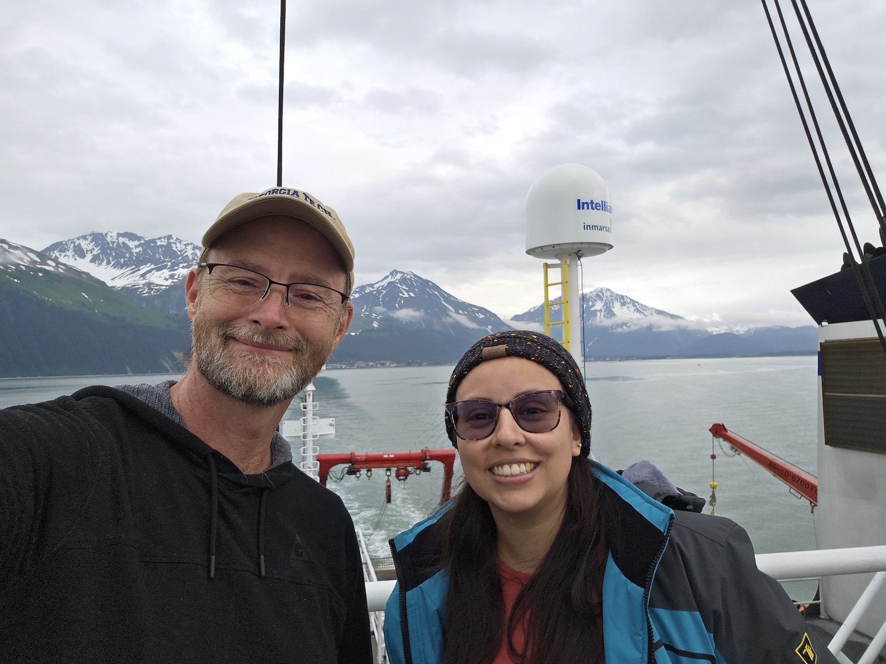
 Nathalie and I as we are heading out from Seward to start our deployment.
Half of this work is the Community Near-trench Geodetic Experiment that is deploying 18 transponders across a large swath of the Aleutian trench 150° and 165°W. The instruments make up six geodetic sites that will be measured about once a year over the next four years to capture deformation associated with some of the largest earthquakes ever recorded. Our Apply-2-Sail students are writing a great blog as we progress.
The second half is a methodology experiment trying to push our deformation observations into deeper and steeper terrains. Here we are deploying a mesh geometry of transponders to test our capabilities to measure in water depths of up to 6000 m using a Wave Glider and lower frequency acoustics than for our other systems in the community sites. The mesh is also going in very steep seafloor (near the trench) where we will perform initial tests to determine repeatability with such differential water depths (and acoustic wave paths). Lastly, the Mesh, allows for lower cost observations in regions where we would like to obtain a dense field of deformation.
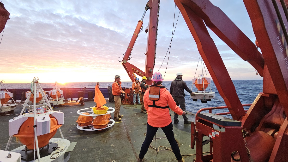 Scripps and Columbia crew working with the amazing folks running the Sikuliaq.
Follow more of our Seafloor Geodesy work here.
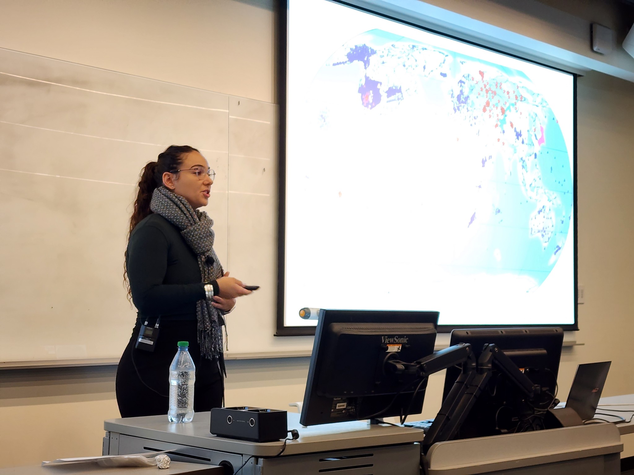
]]>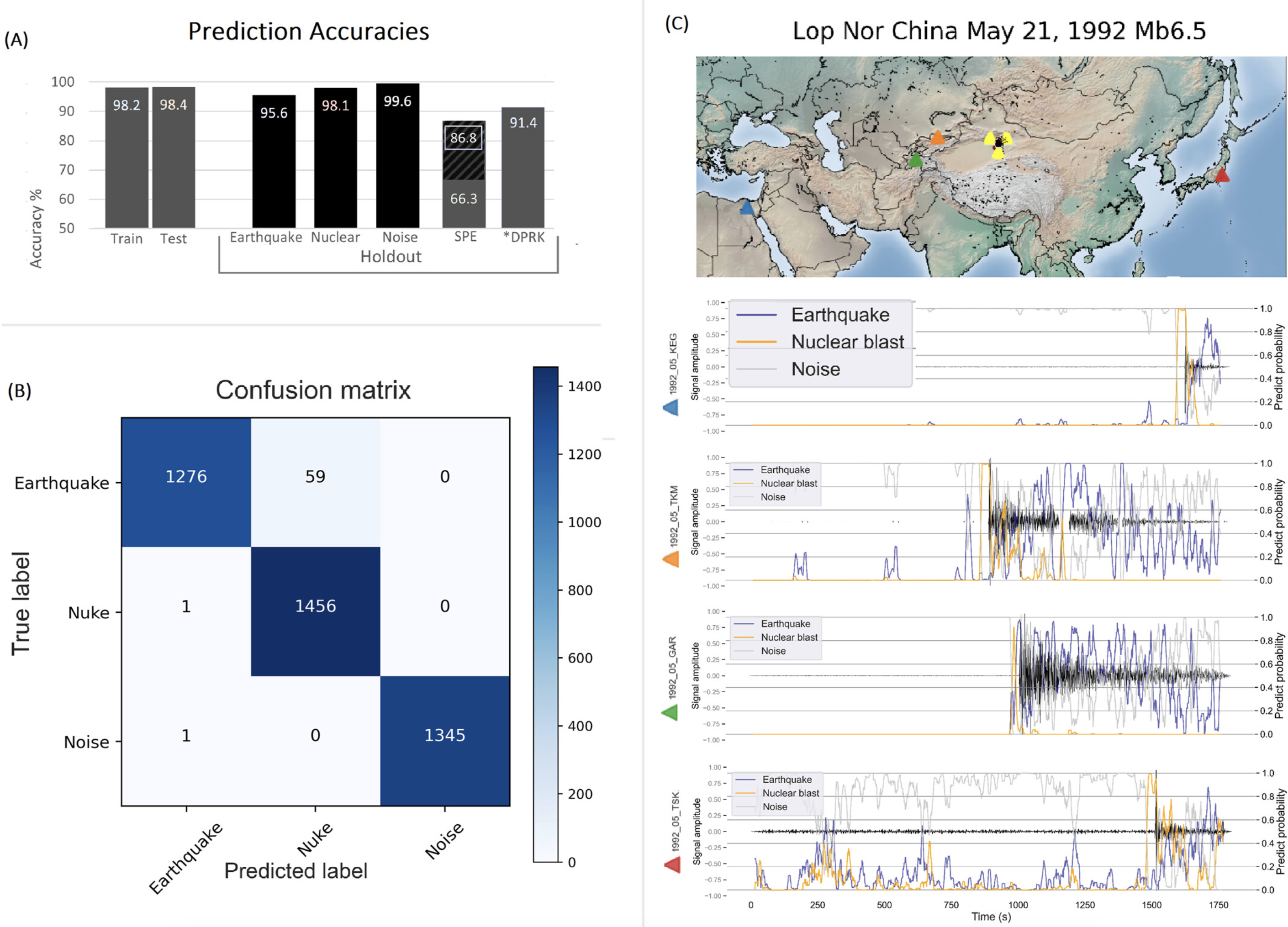 Overall prediction accuracies from our generalized global neural network.
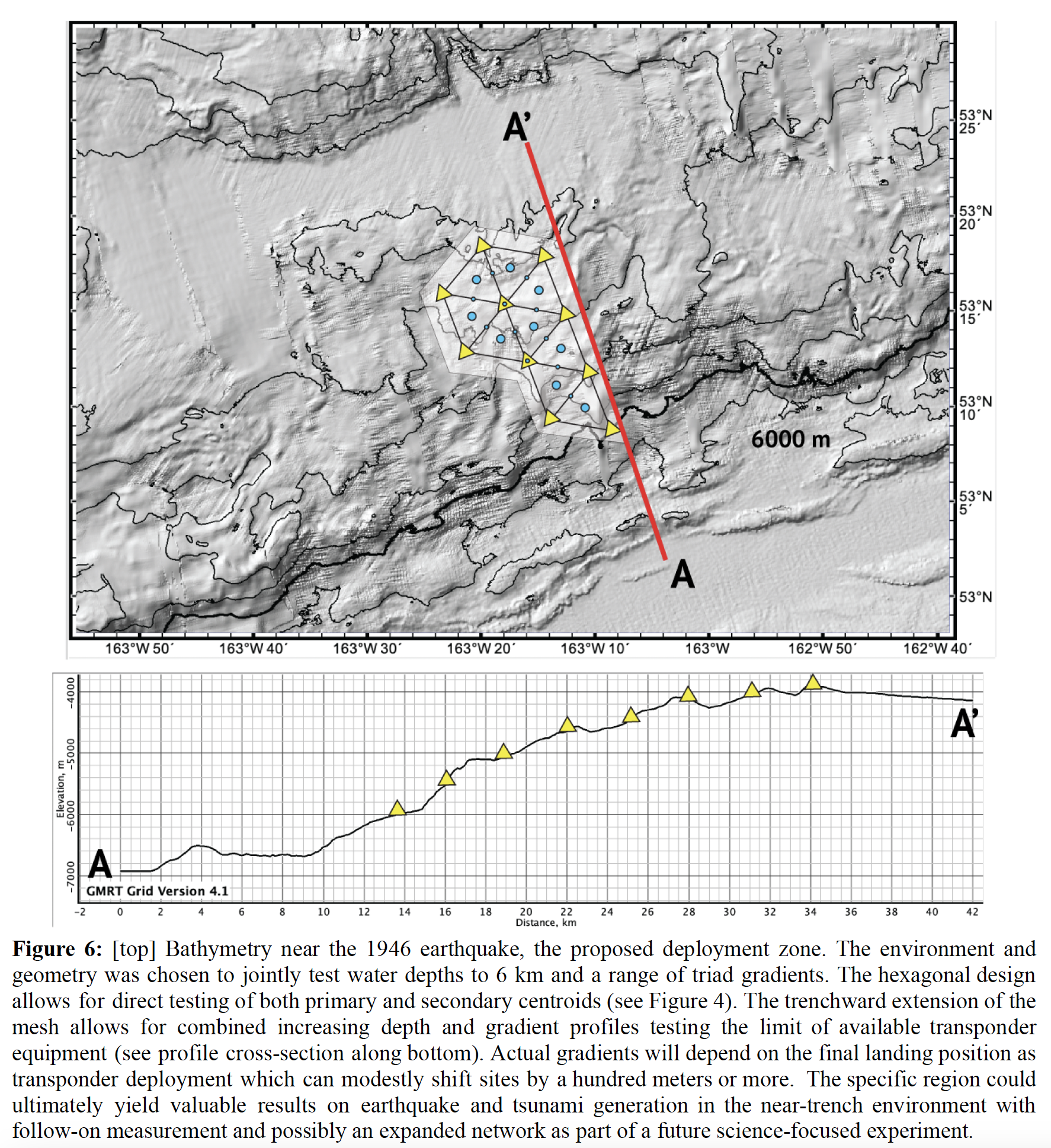 The proposed experiment design.
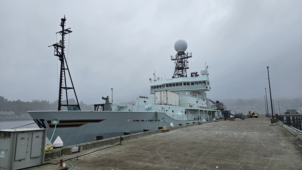 The Thomas G. Thompson Research vessel is owned by the US Navy, managed by the University of Washington for the U.S. National Science Foundation, and docked at the NOAA and Oregon State site in Newport. Confusing, huh?
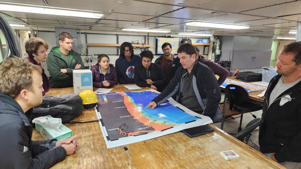 Plotting the course: Washington Scientist, John DeSanto explaining the route plan to the PIs (including me), and a varied group of early-career scientists ready to get their “sea legs”.
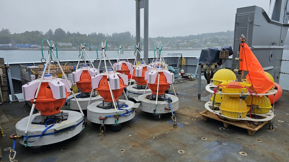 Seafloor Transponders: Well, not yet. These 7 transponders are going to be deployed offshore Washington and Oregon to complete the network of 6 new GNSS-Acoustic stations making of the Cascadia component of the Near-trench community experiment.
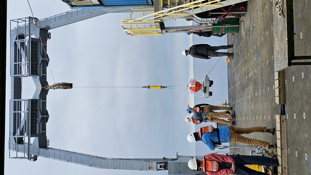 Pressure Drop: Not quite David Bowie-level, but one in three of each of the transponders being deployed have a pressure gauge within to measure the short-term changes in the height of the seafloor – possibly associated with very slow earthquakes.
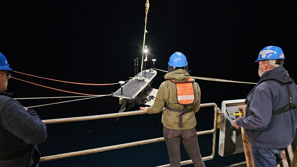 Glider away!!! One of two autonomous surface vessels, called Wave Gliders, is over the ship and about to be let loose into the ocean for interrogating the transponders to determine their precise positions.
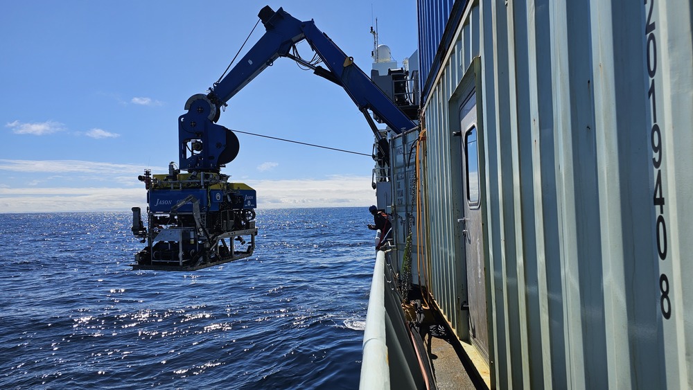 Robots at work: Wood’s Hole’s JASON Remotely Operated Vehicle (ROV) is going down to the seafloor to collect data from a different type of seafloor deformation sensor as a part of another project.
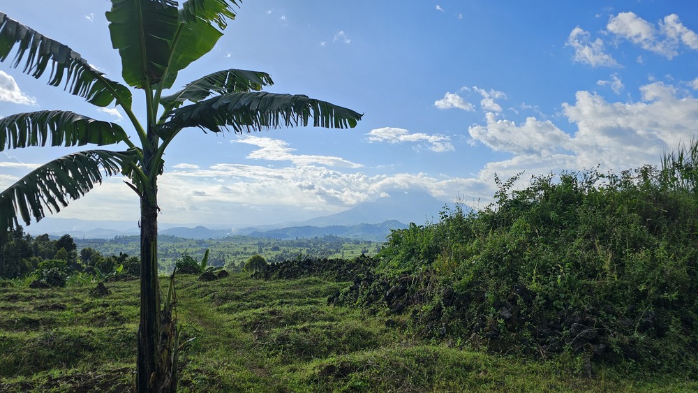 Scouting site for Magnetotelluric measurements along the Rwanda-DRC border looking toward Nyriagongo Volcano.
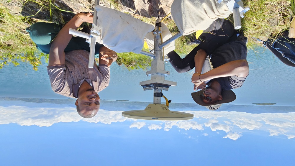 GT Grad Student Derrick Murekezi, and RMB Employee Gaspard Nywandi with campaign GNSS station NNPN.